Call Us Today! 07831 125 447
MES Skymapper
HomeAboutServicesUseful linksContact

Your Own Eye in the Sky

07831 125 447

Qualified & Experienced Surveyors

Your Own Eye in the Sky

07831 125 447

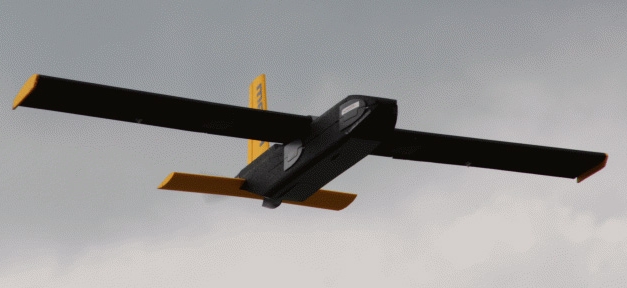
Fixed Wing Drone for Longer Flights over Large Areas

Your Own Eye in the Sky

07831 125 447

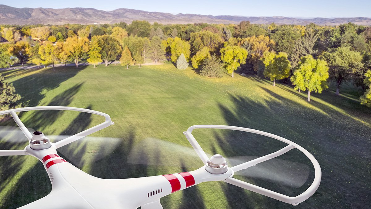
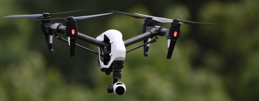
Quadcopter Drones for Aerial Photography & Video

Your Own Eye in the Sky

07831 125 447

FREE QUOTATIONS

Services

Aerial Survey & Mapping

Aerial Survey & Mapping

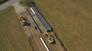
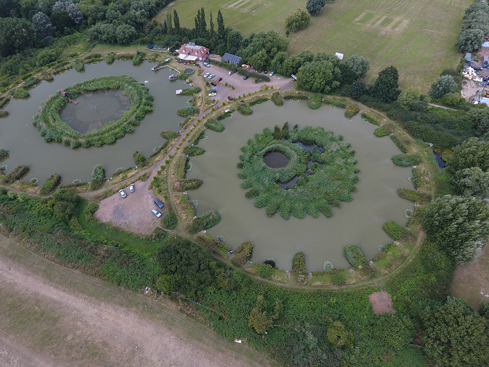
Mes-Skymapper builds on the extensive experience of its personnel in surveying to carry out cost effective and high precision topographic surveys over large and inaccessible areas of terrain. These can either be used for planning applications, route corridor designs for pipelines, roads, power lines, or rail. Data is processed to provide flexible Digital Terrian Models for further manipulation by the Clients own GIS processing team as well as providing a photographic record for future reference.
Agricultural Crop Monitoring Surveys

Agricultural Crop Monitoring Surveys

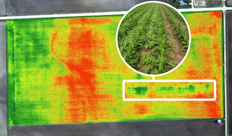
Monitoring fields from the sky using drones produces an almost plant by plant inspection to determine different features of a crop. These can be used to recognise things like weed types, disease pressures, plant stress, crop damage, nitrogen requirements and yield potential. Drones can also fly low enough to get a very detailed look at the crop. Multispectral camera images are gathered to produce Normalised Difference Vegetation Index (NVDI) information.

Forestry Surveys

Forestry Surveys

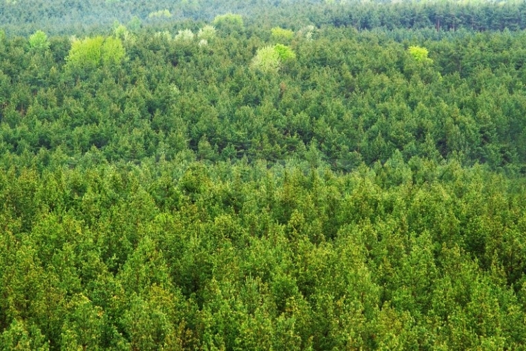
Fixed wing drones are an ideal platform for the capture and delivery of data to the forestry industry to monitor tree survival counts, regeneration species analysis, disease monitoring, tree height derivation, site planning, and fire or strong wind damage assessment.

Construction

Construction

Any type of construction project requires a baseline or planning survey and drones are an ideal rapid and cost effective way of gathering data. Once site works begin, regular surveys offer site progress monitoring without disrupting works, remote viewing of works and data by the Client, earthworks removal volume calculations, and safety monitoring.

Building Inspection Surveys

Building Inspection Surveys

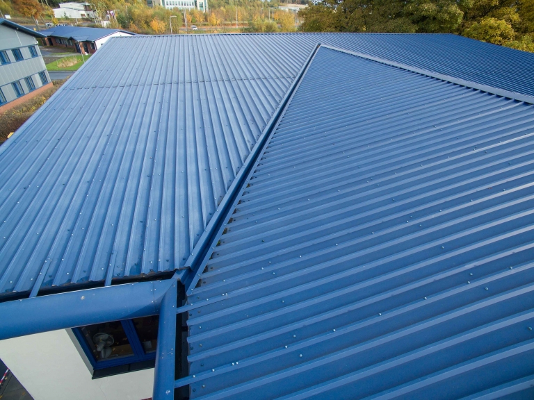
Building survey inspections have inevitably involved the risks of working at height. This can be avoided by the use of drone technology which can access difficult areas and creates a repeatable robust data set of video and still photographs for off-site viewing by the Client. Surveys are typically carried out for insurance claims, roof inspections, maintenance work, dilapidation surveys, and planning applications.

Quarry Stockpile Volume Calculation Surveys

Quarry Stockpile Volume Calculation Surveys

Accurate volumetric stockpile calculations are a critical piece of information for aggregate operations. Drone surveys provide an economical, accurate and timely method of collection of such data. Rapid imagery capture can be processed into a very accurate 3D model of the imaged area for subsequent volumetric information, along with ancillary data such as image maps of the collected area.

Coast Erosion & Protection Surveys

Coast Erosion & Protection Surveys

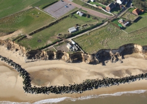
Traditional coastal zone surveys rely on regular time consuming methods to obtain discrete sets of data to record changes in coast profiles. Drone surveys cover large and often inaccessible areas safely and rapidly in order to provide overlapping fine detail geo-referenced images which give 100% coverage of the landscape. These images are processed to produce ortho-mosaics for input into a GIS database.

Aerial Photography & Video Surveys

Aerial Photography & Video Surveys

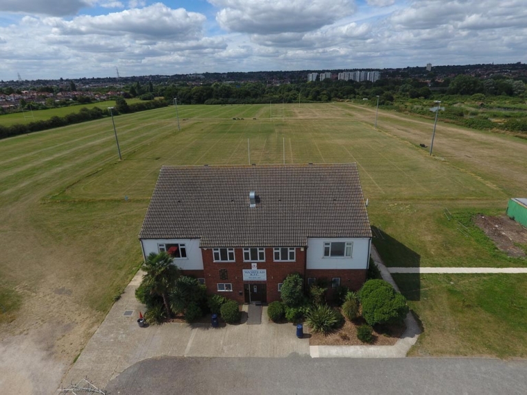
Digital still photographs and high definition video are undertaken for residential and commercial properties (owners and estate agents), family events, and promotional golf course virtual tours.